Surveying the Earth to Create the Future
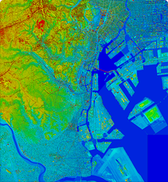
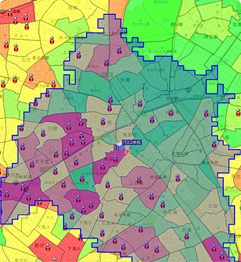
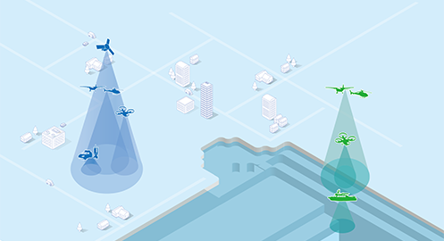
Geospatial Information
Nowadays geospatial information is recognized as an important social infrastructure, as it serves as fundamental information for the national land and for corporate management.
PASCO CORPORATION is constantly in pursuit of the most advanced technologies in the areas of the acquisition and processing of geospatial information. Based on the results obtained through the active utilization of these technologies, the PASCO Group provides products and services that underpin secure and comfortable lives for the people around the world.
News Release
- February 26,2025
- Marble Visions Initiates Development of 3D Earth Observation Satellite System in Joint Venture with NTT DATA, PASCO, and Canon Electronics
- January 16,2025
- PASCO Selected as Advanced Radar Satellite Data Service Provider
- Promoting Services for the Utilization of Observation Data from “Daichi 4” (ALOS-4) - - November 18, 2020
- PASCO and Skyline Software Systems to Enter into MOU to Explore Strategic Partnership
- New partnership poised to deliver world-class 3D geospatial solutions for realization of digital twins.- - December 27, 2019
- Announcing Research to Improve Paddy Field Management in Indonesia alongside Indonesia’s National Space Agency (LAPAN)
- March 28, 2019
- Partnership in Space Business
-Seeking New Business Creation in the Joint Utilization of Satellite Ground Stations and Satellite Data- - October 17, 2018
- PASCO and LAPAN signed cooperation agreement to promote the utilization of Earth Observation Satellite Data in ASEAN Region
About Us
PASCO's corporate philosophy represents fundamental stance taken by the Group in the execution of its corporate activities.
PASCO Group has built up a comprehensive management system with established quality, environment, and information security policies. It operates this system with the aim of contributing to society through sustainable corporate activities that are in line with the corporate philosophy.
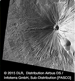
Disaster Mapping for Emergency use
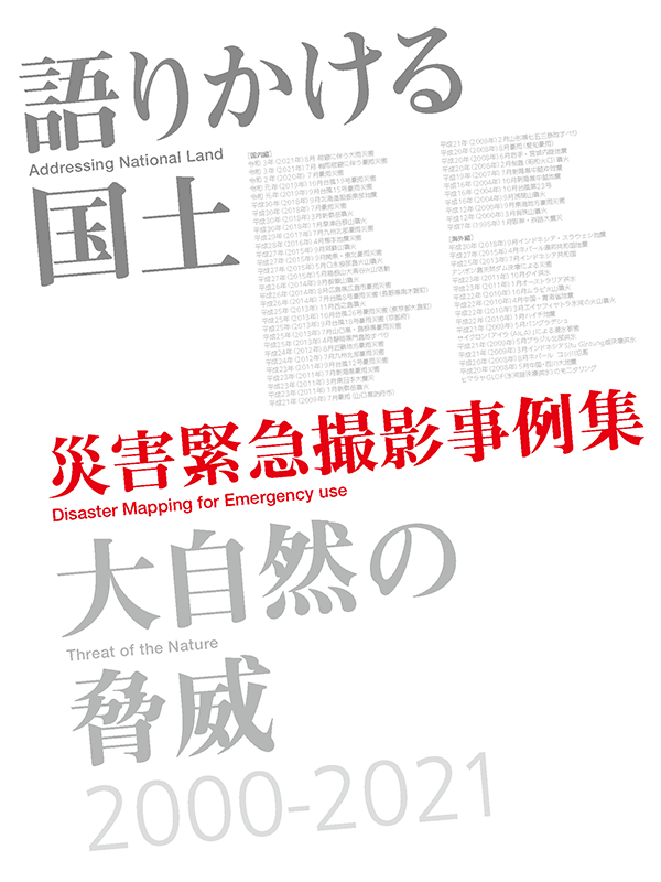
Many countries in the world suffer enormous damage from natural disasters such as earthquakes, typhoons and torrential rain. In Japan, the government has steadily implemented disaster prevention measures including earthquake prediction system, river improvements and maintenance of mudslide-control dams, but we are still often threatened by forces of nature far beyond our prediction.
To protect people’s lives from such disasters and minimize the economic losses caused by disasters, PASCO acquires emergency imageries of stricken areas by satellite and aircraft immediately after the occurrence of a disaster. The imageries are used to grasp the range and extent of the affected area and are utilized to prevent secondary disasters and enable smooth reconstruction work.
