Processing Information
PASCO has established bases that specialize in responding promptly to handle spatial information, such as processes of collecting, processing, and analysis of spatial information.
-
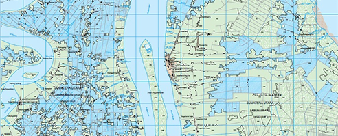
Mapping
PASCO has mapping capability to create high quality maps of small to large scale. The maps are produced based on variety of data collected from various resources such as satellite imagery, aerial photograph, mobile mapping system, etc. PASCO has three mass production bases located in Okinawa in Japan, Manila in the Philippines and Bangkok in Thailand.
-
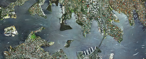
Ortho Rectifications
PASCO possesses advanced all-digital orthoimagery processing capability for the mass production, and applicable not only for aerial photo but also satellite image. PASCO has produced satellite based ortho image and archived data products for Thailand and Vietnam. Our wide range of services is available for true-ortho photo, mosaics etc. production as well.
-
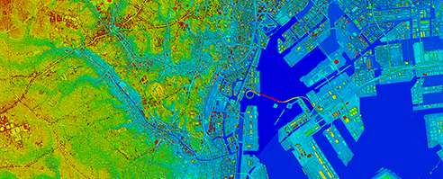
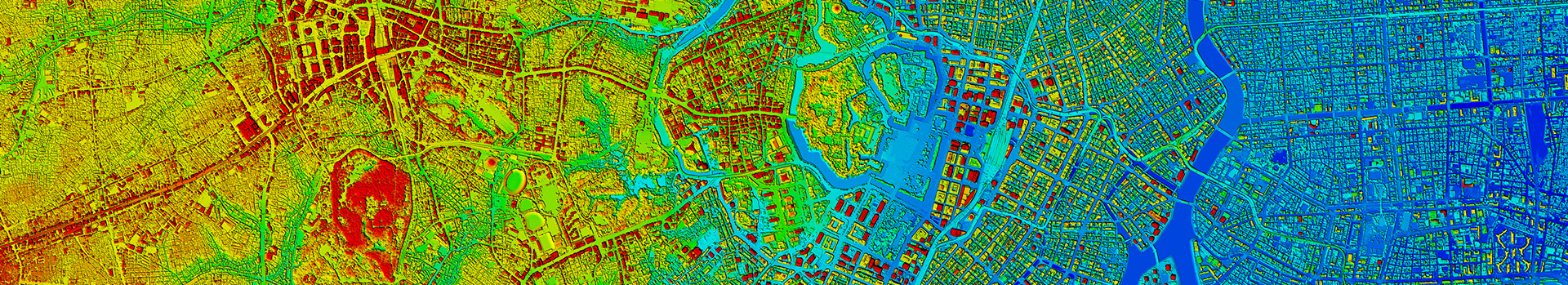
Digital Surface Model (DSM) and Digital Terrain Model (DTM)
PASCO generates dense, precise and reliable DSM and DTM products. We can produce the DEM (Digital Elevation Model) not only from the aerial photography as conventional way but also by using the aircraft laser LiDAR (Light Detection and Ranging). Reflected waves from laser beams, that are transmitted out to the ground using downward-looking LiDAR instrument mounted onto an aircraft, scans the ground and this captured information is analyzed coupled with location and pose estimation information from the GPS/IMU to produce the 3D data.
-
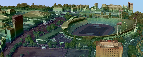
3D Model
PASCO has capability for the 3D city model production. The MAPCUBE, 3D product developed by PASCO, is a 3D city model that highly precisely recreates the relief of the terrain, as well as the height, exterior, and color of buildings, resulting in a realistic and compelling model. This 3D digital map has a wide variety of applications, including urban planning and landscape design, view simulation and disaster prevention simulation, car navigation and people navigation systems, journalism, and games.
PASCO is also utilizing oblique camera which performs data acquisition by five digital cameras mounted in the aircraft and pointing towards nadir, forward, backward, right and left directions simultaneously, and capturing of wide area coverage with multiplex images by greatly enhancing the efficiency of aerial photography. With oblique airborne image, we can generate higher-density TIN model and highly accurate 3D model through aerial triangulation and image matching.
