
Company's Surveying Tools
The surveying represents PASCO's roots and will continue to remain a strength of the company indefinitely
-
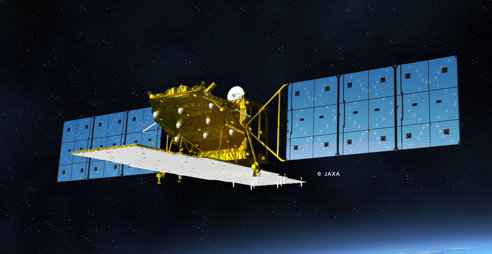
Surveying from space
PASCO has three ground stations in Japan including direct downlinks and currently handling many Earth Observation Satellites.
- New acquisition
- Archived data
-

Aerial surveying
We are able to collect geospatial information on wide areas of land and sea using various sensors mounted to aerial surveying aircraft.
- Aerial surveying aircraft
- Digital cameras
- Analog cameras
- Aerial laser & sensors
-
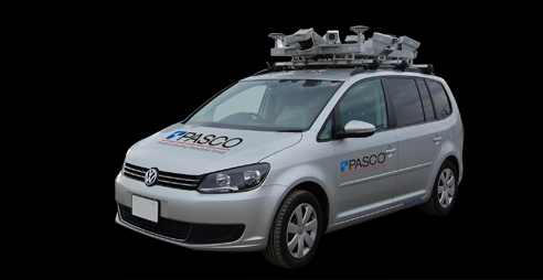
Terrestrial surveying
We collect detailed geospatial information from ground-based sources using dedicated measuring vehicles and Total Stations.
- Measuring vehicles
- Terrestrial SAR
- Terrestrial Laser Scanners
-
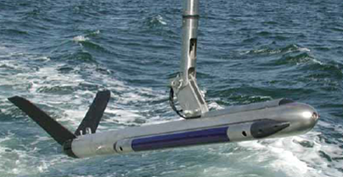
Underwater surveying
PASCO's surveying technologies are even used to acquire geospatial information on underwater sediment and structures.
- Depth recorders
- Side scan sonars
- Mud scum probes
- Wave gauges / current meters
- Others
